This portfolio brings together my work across aerial cinematics, immersive VR tours, and advanced UAV mapping projects.
Each category highlights a different dimension of my expertise creative storytelling, interactive experiences, and data‑driven geospatial solutions showcasing how I transform vision into impactful deliverables.
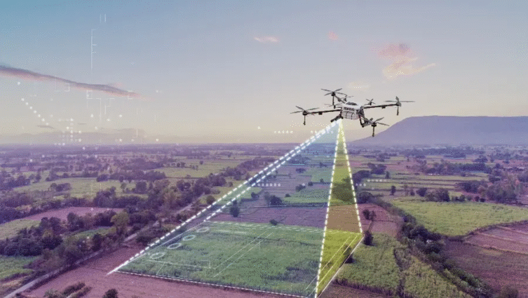
Drone Mapping & GIS Projects
Accurate UAV mapping with StoryMaps, 3D models, and reports turning aerial data into actionable insights.
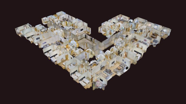
Virtual Reality Tours
Immersive 360° walkthroughs that let audiences explore spaces remotely with realism and interactivity.
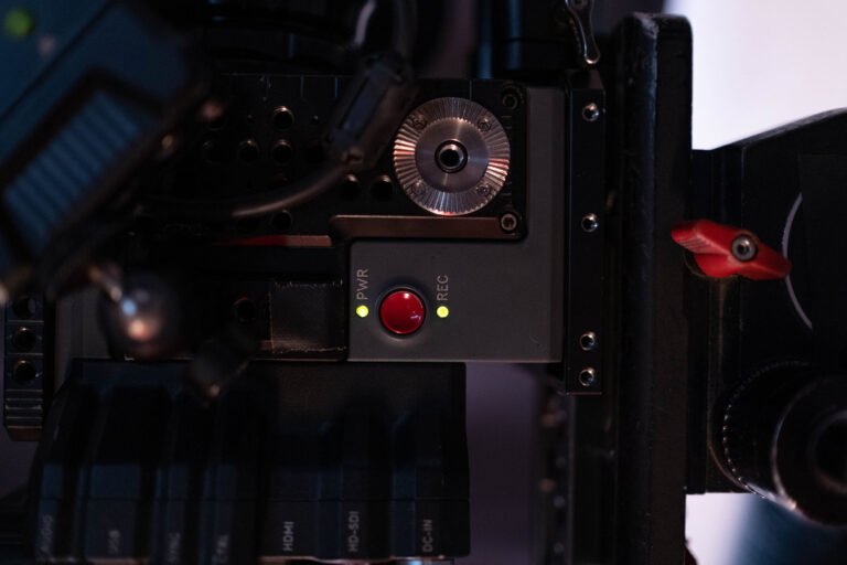
Videos
Engaging video productions blending creativity and precision to deliver impactful visual narratives across industries.
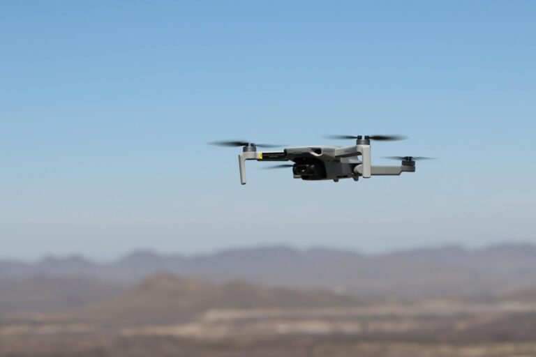
Drone Videos
Cinematic aerial footage capturing scale, movement, and perspective to elevate storytelling and marketing impact.
Photos
High‑quality stills capturing detail, composition, and atmosphere to showcase spaces and stories effectively.